Ceres
South Africa · Western Cape
Ceres is the administrative centre and largest town of the Witzenberg Local Municipality in the Western Cape Province of South Africa. Ceres serves as a regional centre for the surrounding towns of Wolseley, Tulbagh, Op-die-Berg and Prince Alfred Hamlet. It is situated in the Warmbokkeveld Valley about 170 km north-east of Cape Town. Ceres is located at the north-eastern entrance to Michell's Pass and was the old route north between Cape Town and Johannesburg, which was later replaced by the N1 highway, which traverses the Breede River Valley to the south.
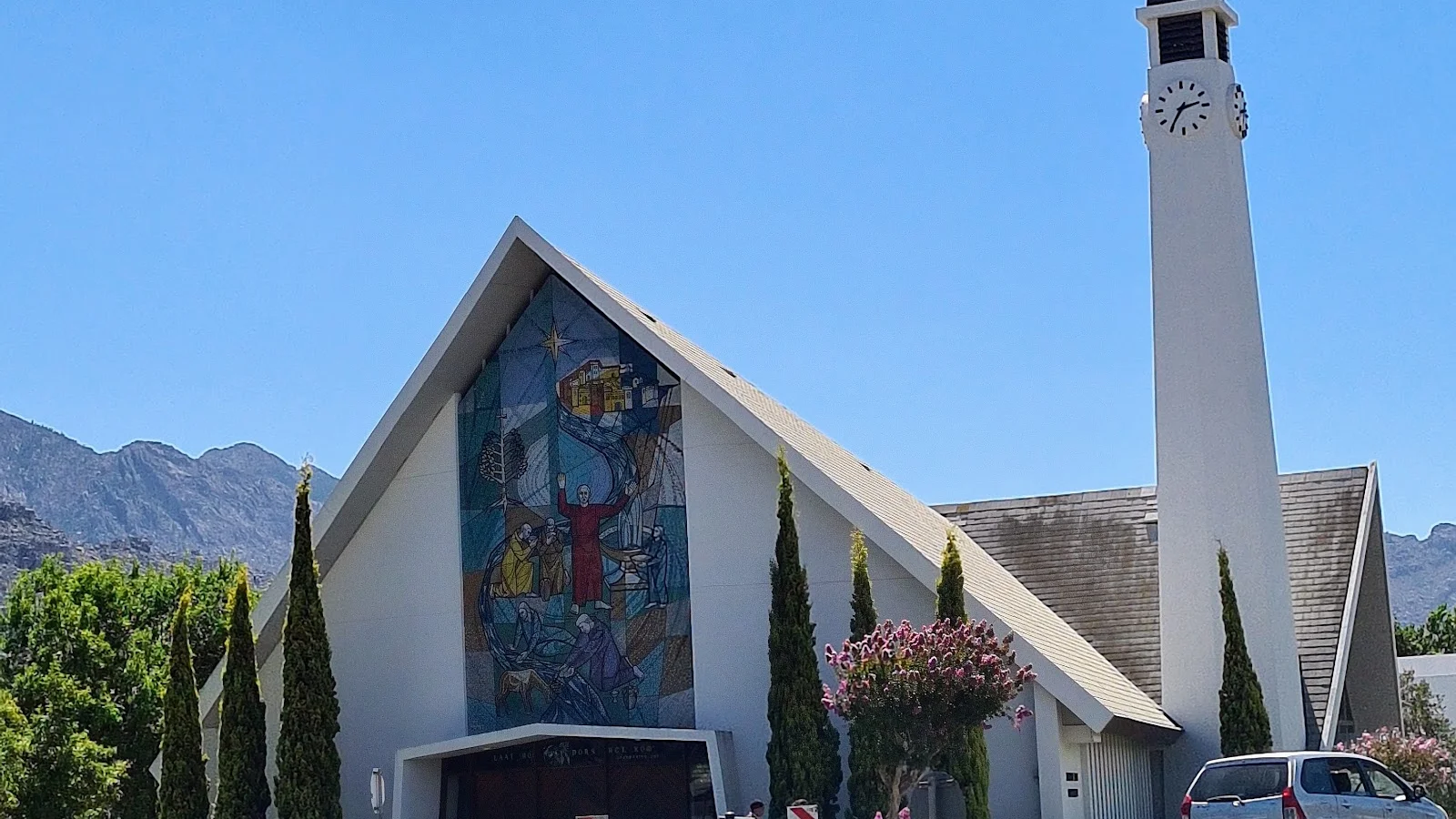
Gallery
Weather by month in Ceres
| Month | High | Low | Rain |
|---|---|---|---|
| Jan | 41.4°C | 6.1°C | 25 mm |
| Feb | 41.1°C | 6°C | 21 mm |
| Mar | 39.9°C | 4.9°C | 30 mm |
| Apr | 36°C | 2.9°C | 49 mm |
| May | 31°C | 0.1°C | 60 mm |
| Jun | 26.8°C | -2°C | 106 mm |
| Jul | 25°C | -2.3°C | 100 mm |
| Aug | 26.8°C | -1.7°C | 104 mm |
| Sep | 32.4°C | -0.1°C | 54 mm |
| Oct | 36.6°C | -1.3°C | 47 mm |
| Nov | 37.4°C | 3.1°C | 47 mm |
| Dec | 40.2°C | 5.7°C | 28 mm |
Average daily high and low (°C) and rain per month (mm). Source: NASA POWER.
Practical facts
- Local time
- UTC+2 · 8 h ahead of Costa Rica
- Region
- Western Cape
- On the map
- 33.37° S, 19.31° E
Near Ceres
- Wellington · 43 km away
- Franschhoek · 63 km away
- Robertson · 74 km away
- Stellenbosch · 75 km away
- Montagu · 88 km away
- Grabouw · 92 km away
More of South Africa
Explore South Africa · Cape Town · Johannesburg · Wellington · Pretoria · Durban
Where to stay

UpperRoom Ceres -Indoor Braai
9.8/10 · 96 reviews

Time & Again
9.7/10 · 64 reviews

Cherry Blossom Boutique Stay, Ceres
9.6/10 · 72 reviews

Bly 'n Bietjie Ceres
9.6/10 · 18 reviews

Mountain Haven Villa
9.5/10 · 62 reviews

Ceres Cozy Cottage
9.4/10 · 69 reviews

38onOak
9.3/10 · 90 reviews

Serene Garden Flat
9.3/10 · 14 reviews

Big Sky Cottages
9.1/10 · 141 reviews

The River Siding
9/10 · 110 reviews