Utuado
Puerto Rico
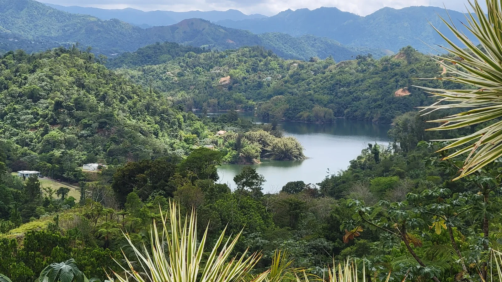
Utuado is a town and municipality of Puerto Rico located in the central mountainous region of the island known as the Cordillera Central. It is located north of Adjuntas and Ponce; south of Hatillo and Arecibo; east of Lares; and west of Ciales and Jayuya. It is the third-largest municipality in land area in Puerto Rico. According to the 2020 US Census, the municipality has a population of 28,287 spread over 24 barrios and Utuado pueblo.
Gallery
Things to do in Utuado
- Private Tour of the White Canyon Ancestral Route in Utuado · 4 h · from $79 · 4.9/5 (8 reviews)
- White Canyon · 4 h 30 min · from $60 · 5.0/5 (9 reviews)
- Utuado Canyon River and Waterfall Private Tour in Puerto Rico · 8 h · from $1,009.53
Weather by month in Utuado
| Month | High | Low | Rain |
|---|---|---|---|
| Jan | 30.1°C | 20.9°C | 45 mm |
| Feb | 30.3°C | 20.7°C | 37 mm |
| Mar | 31.6°C | 21.1°C | 50 mm |
| Apr | 32.3°C | 21.7°C | 71 mm |
| May | 32.6°C | 22.9°C | 119 mm |
| Jun | 32.4°C | 24.4°C | 86 mm |
| Jul | 32.1°C | 25°C | 95 mm |
| Aug | 32.6°C | 25.4°C | 122 mm |
| Sep | 32.8°C | 25.1°C | 153 mm |
| Oct | 32.2°C | 24.6°C | 152 mm |
| Nov | 31.6°C | 22.9°C | 128 mm |
| Dec | 31.4°C | 21.8°C | 59 mm |
Average daily high and low (°C) and rain per month (mm). Source: NASA POWER.
Practical facts
- Local time
- UTC-4 · 2 h ahead of Costa Rica
- Main language
- Spanish
- On the map
- 18.27° N, 66.71° W
Near Utuado
- Arecibo · 14 km away
- Puerto Rico · 14 km away
- Ponce · 31 km away
- Rincon · 55 km away
- San Juan · 71 km away
- Isla Verde · 75 km away
More of Puerto Rico
A US territory with a deeply Caribbean soul — Old San Juan's blue cobblestones, the bioluminescent bay of Vieques, and El Yunque rainforest all in a single island.
Explore Puerto Rico · Puerto Rico · San Juan · Vieques · Ponce · Culebra


