DESTINATION
Tad Lo
Laos · Salavan Province
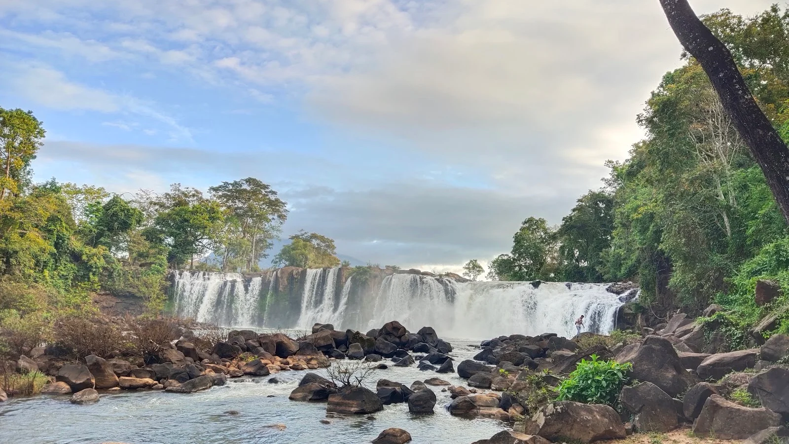
The Bolaven Plateau is an elevated region in southern Laos. Most of the plateau is located within Champasak Province of Laos, though the edges of the plateau are also located in Salavan, Sekong and Attapeu Provinces. It is located between the Annamite Range, along which runs Laos' eastern border with Vietnam, and the Mekong River to the west, at about 15°N 106°E. The plateau's elevation ranges approximately from 1,000 to 1,350 metres above sea level. The plateau is crossed by several rivers and has many scenic waterfalls.
Gallery
Weather by month in Tad Lo
| Month | High | Low | Rain |
|---|---|---|---|
| Jan | 37.4°C | 7.6°C | 9 mm |
| Feb | 38.5°C | 8.2°C | 6 mm |
| Mar | 40.8°C | 11.6°C | 32 mm |
| Apr | 41.7°C | 14.7°C | 51 mm |
| May | 39.7°C | 17°C | 117 mm |
| Jun | 38.6°C | 20.8°C | 137 mm |
| Jul | 37.9°C | 19.6°C | 230 mm |
| Aug | 35.4°C | 20.3°C | 250 mm |
| Sep | 33.9°C | 17.9°C | 223 mm |
| Oct | 36.1°C | 14.8°C | 130 mm |
| Nov | 37°C | 9°C | 49 mm |
| Dec | 37.9°C | 8.7°C | 29 mm |
Average daily high and low (°C) and rain per month (mm). Source: NASA POWER.
Practical facts
- Local time
- UTC+7 · 13 h ahead of Costa Rica
- Region
- Salavan Province
- Main language
- Lao
- On the map
- 15.53° N, 106.27° E
Near Tad Lo
- Pakse · 67 km away
- Dong Giang District · 153 km away
- Hue · 158 km away
- My Son · 200 km away
- Da Nang · 216 km away
- Dong Hoi · 219 km away
More of Laos
Explore Laos · Vientiane · Luang Prabang · Vang Vieng · Pakse · Phonsavan


