Quetzaltenango
Guatemala · Quetzaltenango Department
Quetzaltenango (Spanish pronunciation: [keˌtsal.teˈnan.ɡo], also known by its Kʼicheʼ Maya name Xelaju or Xela, is a municipality and the capital of the namesake department in western Guatemala. Situated within a high-altitude volcanic basin of the Sierra Madre at an elevation of 2,330 metres above sea level, the city is encircled by prominent volcanic complexes including Santa Maria, Santiaguito, and Cerro Quemado. It functions as the primary economic, educational, and cultural hub of the southwestern Guatemalan highlands.
Gallery
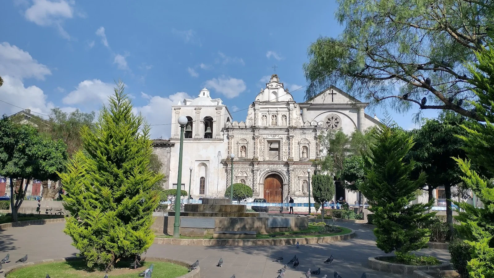
Things to do in Quetzaltenango
- Trek to Chicabal Volcano and Lagoon near Quetzaltenango , Guatemala · 7 h · from $100 · 4.7/5 (11 reviews)
- Hands On Guatemalan Shoe Making · 12 h · from $140 · 5.0/5 (2 reviews)
- Iconic Yellow Church + Mayan Market + Small Town: Cultural Tour · 6 h · from $199 · 5.0/5 (2 reviews)
- Tour to Zaculeu, an Ancient Mayan Kingdom + The Viewpoint of Dieguez Olaverri · 9 h · from $215
- Natural Hot Springs Experience and visit an Authentic Mayan Market · 5 h · from $225 · 5.0/5 (1 reviews)
- Hike Sacred Lake Chicabal, then Tour a Mayan Village - Full Day · 8 h 30 min · from $220 · 5.0/5 (1 reviews)
All experiences in Quetzaltenango
Weather by month in Quetzaltenango
| Month | High | Low | Rain |
|---|---|---|---|
| Jan | 24.7°C | 2.4°C | 6 mm |
| Feb | 25.2°C | 3.4°C | 7 mm |
| Mar | 29.5°C | 2.7°C | 22 mm |
| Apr | 28.5°C | 4.6°C | 63 mm |
| May | 27.9°C | 7.2°C | 217 mm |
| Jun | 24.5°C | 9.1°C | 315 mm |
| Jul | 23.5°C | 9.1°C | 226 mm |
| Aug | 24.1°C | 8.6°C | 289 mm |
| Sep | 23.6°C | 8.1°C | 353 mm |
| Oct | 22.9°C | 6.8°C | 291 mm |
| Nov | 23.6°C | 2.9°C | 58 mm |
| Dec | 23°C | 2.3°C | 10 mm |
Average daily high and low (°C) and rain per month (mm). Source: NASA POWER.
Practical facts
- Local time
- UTC-6 · Same time as Costa Rica
- Region
- Quetzaltenango Department
- Main language
- Spanish
- On the map
- 14.84° N, 91.52° W
Near Quetzaltenango
- Lake Atitlan · 32 km away
- San Pedro La Laguna · 32 km away
- Panajachel · 41 km away
- Santa Lucía Cotzumalguapa · 78 km away
- Antigua · 91 km away
- Guatemala City · 112 km away
More of Guatemala
The heart of the ancient Maya world, Guatemala wraps colonial Antigua, Lake Atitlán's volcano-ringed waters, and the temples of Tikal into a small but intensely rewarding country.
Explore Guatemala · Antigua · Flores · Guatemala City · Tikal · Lake Atitlan
Where to stay

Mi casa es tu casa.
10/10 · 14 reviews

Villa Alissa
10/10 · 9 reviews

Central Park Jr. Suites
10/10 · 7 reviews

Apartamento #1 Portal de Occidente
10/10 · 6 reviews

Spacious Family House
10/10 · 2 reviews

Hotel Residencia del Puente
10/10 · 1 reviews

Casa I'X - Hostel
10/10 · 1 reviews

Arrendamiento Margarita
10/10 · 1 reviews

Apartamento 1 Premiere de Occidente
9.8/10 · 4 reviews

Hotel Portal de Occidente
9.6/10 · 4 reviews