DESTINATION
Farafra
Egypt · The New Valley Governorate
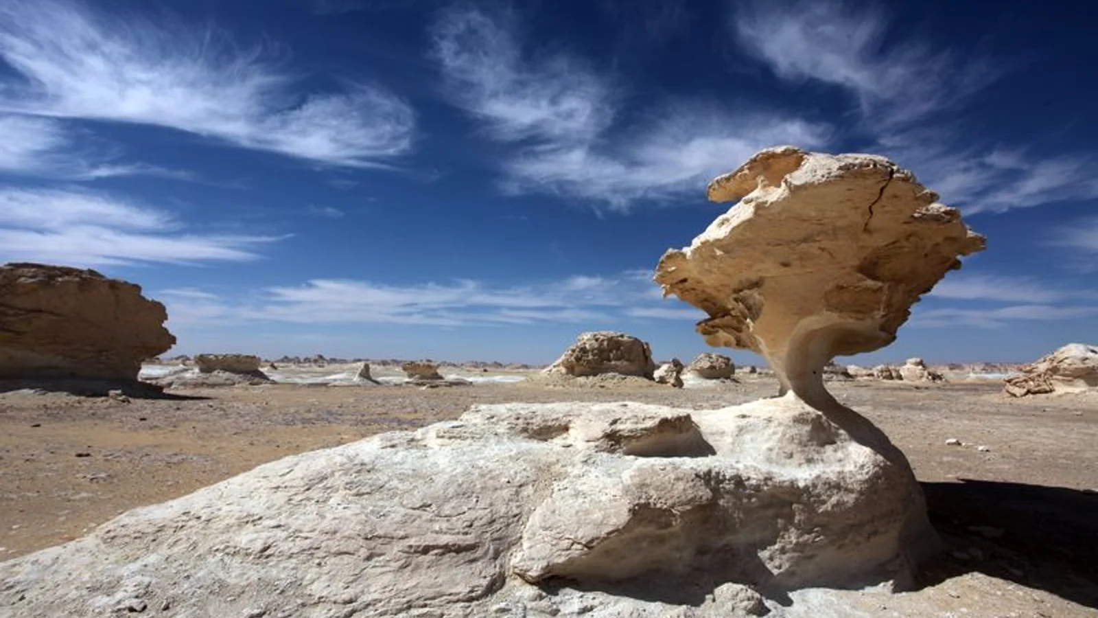
The Farafra depression is a 980 km2 (380 sq mi) geological depression, the second largest by size in Western Egypt and the smallest by population, near latitude 27.06° north and longitude 27.97° east. It is in the large Western Desert of Egypt, approximately midway between the Dakhla and Bahariya oases.
Gallery
Things to do in Farafra
- 3 Days 2 Nights Black and White Desert Tours Experience · 72 h · from $275 · 5.0/5 (29 reviews)
- Bahariya Oasis Desert Tour Package 2 Nights and 3 Days from Cairo · 72 h · from $350
- 2-Day Bahariya Oasis White and Black Overnight Camping Jeep Tour · 48 h · from $220 · 5.0/5 (6 reviews)
Weather by month in Farafra
| Month | High | Low | Rain |
|---|---|---|---|
| Jan | 30.3°C | 0.4°C | 1 mm |
| Feb | 35°C | 0.5°C | 4 mm |
| Mar | 39.3°C | 3°C | 0 mm |
| Apr | 42.3°C | 7.3°C | 0 mm |
| May | 46.5°C | 12.4°C | 0 mm |
| Jun | 45.7°C | 16.3°C | 0 mm |
| Jul | 45.1°C | 18.9°C | 0 mm |
| Aug | 43.8°C | 19.6°C | 0 mm |
| Sep | 42°C | 16.3°C | 0 mm |
| Oct | 40.5°C | 11.9°C | 0 mm |
| Nov | 36.2°C | 6.3°C | 2 mm |
| Dec | 30.7°C | 2.1°C | 1 mm |
Average daily high and low (°C) and rain per month (mm). Source: NASA POWER.
Practical facts
- Local time
- UTC+2 · 8 h ahead of Costa Rica
- Region
- The New Valley Governorate
- Main language
- Arabic
- On the map
- 27.06° N, 27.97° E
Near Farafra
- Bawiti · 169 km away
- Sohag · 374 km away
- El Alamein · 430 km away
- Giza · 456 km away
- Cairo · 460 km away
- Luxor · 489 km away
More of Egypt
Explore Egypt · Alexandria · Cairo · Luxor · Abu Simbel · Giza


